The T4A GPS Maps are built from the collective travel experience of the travelling community. Anyone can join and contribute to the map.
The maps are constantly evolving and you can assist by contributing your travel experience, be it for business or pleasure. The following are common types of contributions, but please do not feel restricted by it.
If you use a GPS to record the roads you have travelled and mark the places you have visited, then you can send us these by downloading your data to a computer and saving the files in a known GPS format. We prefer GPX or GDB. Thereafter, you can submit your GPS data online or via email.
Once your data is processed and included in a new version of our maps, you will be asked to download this Garmin compatible map and check that your data has been processed to your liking.
For more information on how to collect data you can read our document on the standards for field data collection or even join our discussion forum.
You can upload your new GPS data online. When you submit your trip, Trackpoints, Tracks and Waypoints will get processed and officially fed into the Tracks4Africa office workflow. Thereafter, we will email you regarding the status of the submission. If the submission is successful we will issue you the submission ID to reference the trip.
Please give your submission a brief title and a detailed description.
If you have a photo of an existing listing on our maps, then you can simply search for this place in Padkos and upload the photo directly to the point of interest.
If you have other material to submit which you cannot upload here then please email it to newdata@tracks4africa; quoting the submission ID you receive via email.
You can also simply email your submission to [email protected].

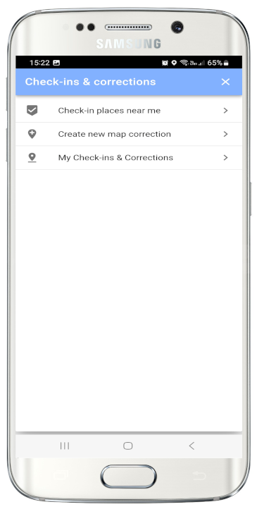
Use our Tracks4Africa Guide App to send map corrections and checkins to Tracks4Africa.
Compatible with Android and iOS.
The app will geolocate waypoints and places around you, and via the App menu you can do check-ins at places near you, or send in corrections, like a road correction or a new place, send us a photo etc.
Note that you will be able to use this functionality in our basic app which is for free.
The app allows in-app purchases of Point-Of-Interest data per region, as well as a detailed underlying map
You can also download your planned trips from our Trip Planning website into the app, to follow along while you are driving.